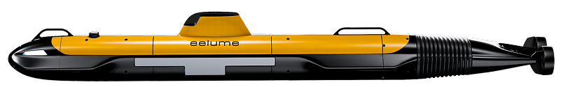
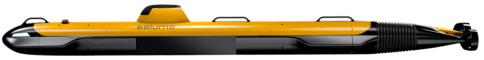
Size
Small-class
Medium-class
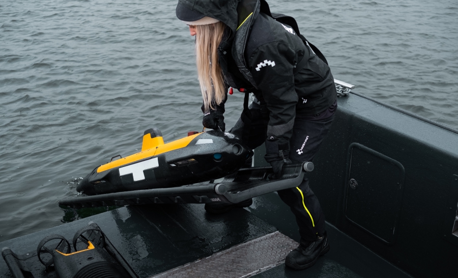
Portability
Two-person portable. Single-person launch.
Not man-portable
Launch and recovery options
Solutions for shore, pier, vessel, platforms of opportunity.
Depth Rating
300 m (600 m option)
600 m
Endurance (payload dependent)
Up to 11 hrs (long endurance options)
Configurable up to multi-day operation
Range (payload dependent)
Up to 62 km (long range options)
Configurable up to multi-day operation
Speed
Max speed greater than 4.0 knots
All-Terrain AUV Special features
360 degrees of freedom in pitch and roll.
Vertical dive and ascend mode.
Agile surface control.
Low speed inspection (replaces need for hovering).
Stable and efficient long-range survey in any vehicle roll angle.
Close-up terrain following down to 1m distance.
Hard Drive
External hot-swappable SSD (2 - 8 TB options)
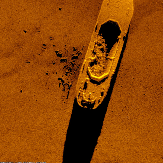
Sonar
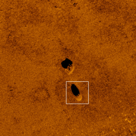
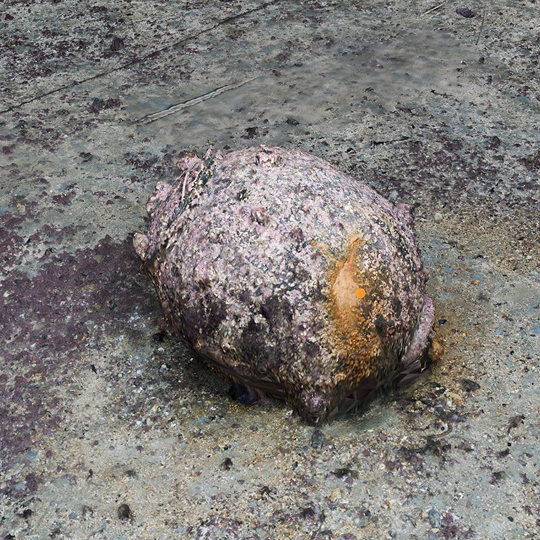
Multi Aperture Sonar (MAS), resolution down to 3cm, swath up to 200m. In-mission processing.
Synthetic Aperture Sonar (SAS), resolution 3x3cm. In-mission processing.
Camera
4K high-resolution still camera. 2D and 3D data (Ultra-high resolution 3D point cloud).
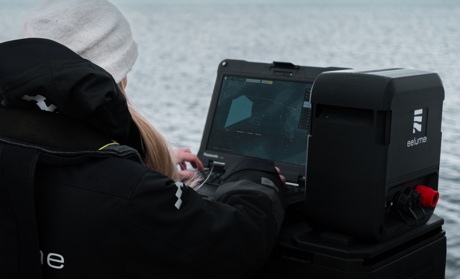
Surface communication
Standard: Iridium, GPS, Wifi, Long-range radio, other options on demand.
Underwater communication and positioning
Acoustic positioning and communication, USBL option.
Underwater navigation
Standard DVL aided straight line 0,2%TD (CEP50). Typical DVL-aided performance 0,04%TD (CEP50).
Standard DVL aided straight line 0,1%TD (CEP50). Typical DVL-aided performance 0,02%TD (CEP50).
Optional Payloads
Open API, Synthetic Aperture Sonar, Underwater Hyperspactral Imager (UHI), Multibeam Echosounder (MBES), Magnetometer, Side-Scan Sonar, Sub-bottom profiler, Chemical Sniffers, Echosounders, Water sampler Option, User Defined Payloads.
Open API, Underwater Hyperspactral Imager (UHI), Multibeam Echosounder (MBES), Magnetometer, Side-Scan Sonar, Sub-bottom profiler, Chemical Sniffers, Echosounders, Water sampler Option, User Defined Payloads.
All specs subject to change.